It's that time again - planning season! In that spirit, here's a list of the best territory planning software tools we know about (Gradient Works included, of course).
"Territory planning software" covers quite a bit of ground. Some of these tools carve geographic boundaries for reps who drive to customers. Some are quota-and-comp platforms with territory bolted on. Some route inbound leads. Only a few actually manage an existing book of accounts as it changes throughout the year (like we do).
We looked at the space broadly, not just at our direct competitors, because most buyers researching this category are comparing across all of it. Here's where each one is genuinely strong, and who it's actually built for.
1. Gradient Works
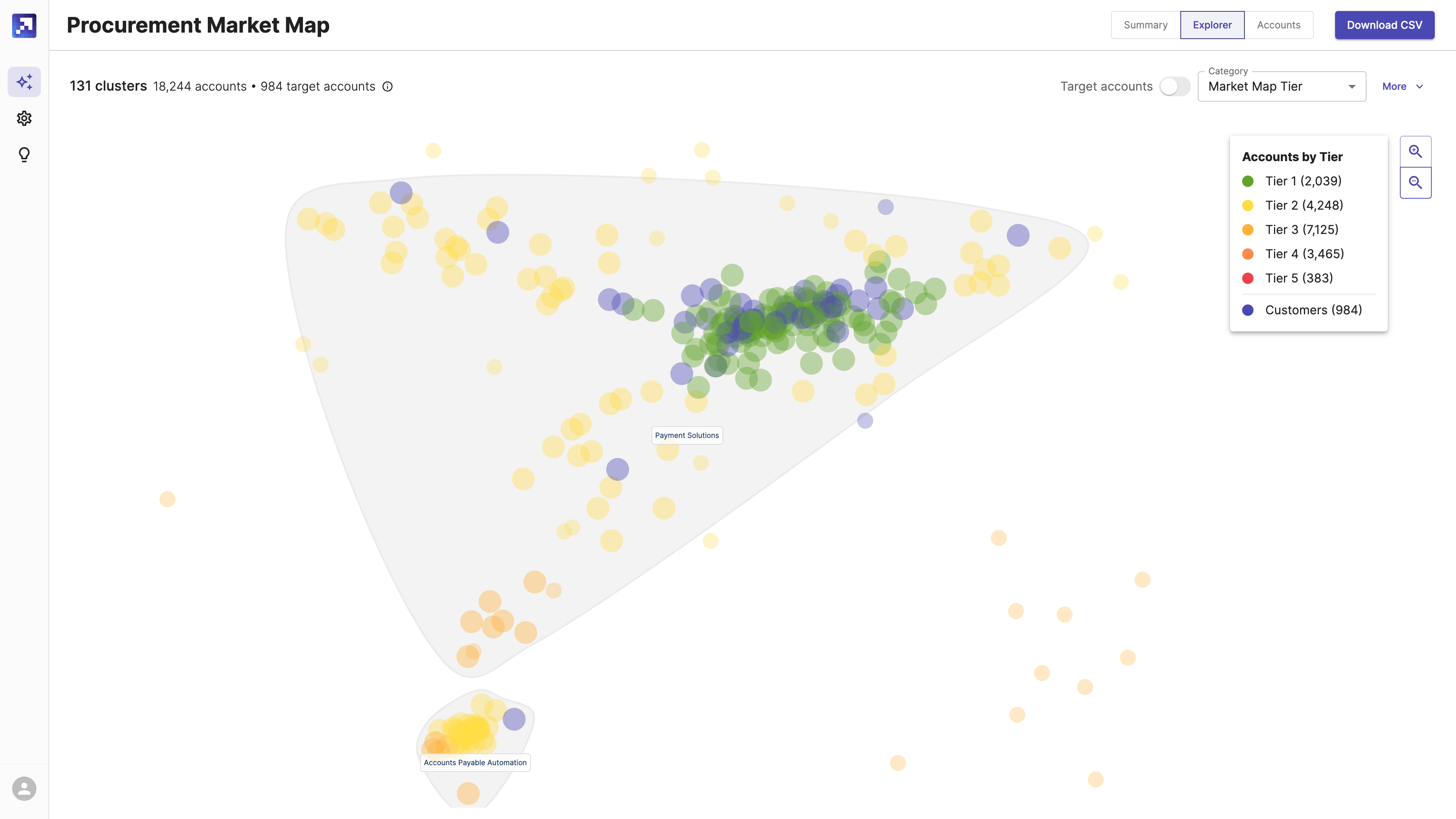
Gradient Works covers the full territory lifecycle in one platform: Market Map scores and segments accounts by fit, Carve designs and compares territory scenarios with AI, and Bookbuilder keeps books balanced as reps join, leave, or accounts change hands mid-quarter. Built-in rep performance analytics show which accounts are actually being worked, not just how territories were drawn. Best for RevOps teams that want territory planning, alongside ongoing management and visibility in one system instead of stitched-together tools. Has a free tier.
2. Varicent
Varicent is an enterprise sales performance management (SPM) platform with a genuinely well-regarded Territory & Quota Planning module. Best for large enterprises that want territory and quota planning inside the same platform as incentive compensation, and that have the implementation runway for an enterprise SPM rollout.
3. Xactly
Xactly is one of the longest-standing names in sales performance management, with territory design (via its AlignStar acquisition) bundled into its broader Incent compensation suite. Best for enterprises already invested in Xactly for comp management who want territory planning in the same system, rather than a standalone buyer.
4. Anaplan
Anaplan is a general-purpose connected-planning platform with a Territory & Quota Planning app built on top of its modeling engine. Best for large organizations that want territory planning unified with finance and revenue planning in one workspace, and that have the budget and modeling expertise to configure it.
5. Salesforce Maps
Salesforce Maps offers native, map-based territory design and route optimization built directly into Salesforce. Best for field sales teams who need geographic boundaries, drive-time balancing, and rep routing. It's less suited to inside sales teams whose "territory" is a set of accounts rather than a region.
6. Esri ArcGIS Business Analyst
Esri ArcGIS Business Analyst offers the deepest geographic and demographic data available for territory work — 15,000+ variables across 170+ countries — built for GIS analysts, not sales operations. Best for retail site selection, franchise boundary-setting, and any territory work that's genuinely about geography, not account assignment.
7. Fullcast
Fullcast is a RevOps suite that includes territory design alongside capacity and quota planning, and revenue intelligence. Best for teams that want those pieces from one vendor and don't mind a still-consolidating product suite.
8. LeanData
LeanData focuses on Salesforce-native lead and account routing, with capacity-aware round-robin and matching logic. Best for teams whose main problem is getting inbound leads to the right rep instantly; it's a routing engine first, not a tool for planning or rebalancing an existing territory.
9. Badger Maps
Badger Maps is a route-optimization app for reps who physically visit accounts, with a territory-balancing add-on (Badger Align) layered on top. Best for field teams in distribution, pharma or home services who need less drive time and more face-to-face visits per day. Has a free trial.
10. SPOTIO
SPOTIO is a mapping and route-optimization platform purpose-built for door-to-door and outside sales teams, recently adding an AI co-pilot for in-field productivity. Best for canvassing-heavy teams, such as solar, roofing and pest control, where "territory" means a physical patch of ground, not a list of accounts.
11. Maptitude
Maptitude is a budget-friendly, well-regarded desktop GIS tool for geographic territory design, balancing, and routing. Best for teams that need solid geographic territory-drawing without enterprise GIS pricing, and that don't need it tied directly into a CRM.
The bottom line
Most of these are excellent at what they were built for. The question worth asking before you buy any of them is what "territory" actually means for your team: a region on a map, a quota number, an inbound queue, or a living list of accounts that needs to stay right as your business changes.
Gradient Works is also the only option on this page with a truly free tier. Try Carve for free and build a real scenario before you talk to anyone on our team.